Understanding the Geographic Landscape of Central Asia through Detailed Cartography
Central Asia, a landlocked region nestled between the Caspian Sea in the west and the borders of western China in the east, boasts a complex and varied topography that has fascinated explorers and scholars alike. This vast region, covering approximately 4 million square kilometers, extends through a diverse terrain ranging from expansive grasslands to towering mountain ranges. Its geographical positioning places it at the crossroads of Europe and East Asia, making its detailed map an essential tool for understanding the intricate relations between its nations and landscapes.
The region includes five primary countries: Kazakhstan, Uzbekistan, Turkmenistan, Kyrgyzstan, and Tajikistan. These countries once formed part of the Soviet Socialist Republics but now serve as independent states, each with unique geographical and cultural traits. Their borders are well-defined on contemporary political maps, yet understanding their natural features requires careful cartographic exploration.
Central Asia is dominated by two contrasting landscapes: the vast steppe lands of northern Kazakhstan and the arid desert basins primarily located in Turkmenistan and Uzbekistan. The Karakum Desert, covering much of Turkmenistan, and the Kyzylkum Desert, spanning western Uzbekistan, paint a picture of harsh, arid environments that challenge human settlement and agricultural development. These deserts occupy about 60 percent of the region’s landmass, highlighting the significance of irrigation systems fed by critical water sources.
The two main rivers – the Amu Darya and the Syr Darya – carve a lifeline through Central Asia’s geographic expanse. Originating in the mountainous regions to the south and east, these rivers sustain the fertile valleys and agricultural zones crucial for the economies and populations of the region. Their waters ultimately drain into the Aral Sea, which has been a focal point of environmental concern due to significant ecological changes over recent decades.
Complex mountain ranges border Central Asia on nearly all sides except the west. The Altai Mountains in the east and south provide a natural boundary with neighboring nations such as China, Iran, and Afghanistan. These highlands not only contribute to the regional topography but also affect climatic conditions, contributing to the dry, continental climate characterized by hot summers and cold winters. The rivers flowing north from Kazakhstan into Russia represent another vital geographical facet, supporting diverse ecosystems in an otherwise arid landscape.
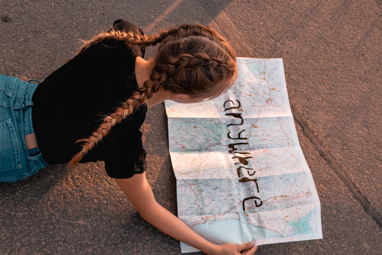
Navigation and detailed cartographic efforts are indispensable for grasping the connectivity between these geographical elements. Maps of Central Asia effectively illustrate the interwoven relationship between natural landmarks and human-developed territories, which is critical for exploration and understanding the challenges of infrastructure development. For example, the intricate network of irrigated areas along river banks contrasts sharply with the arid expanses that dominate the region’s interior.
With trends continuing in 2026, multidimensional mapping – encompassing physical, political, and cultural layers – is increasingly important. Explorers and researchers rely on these detailed maps not only for navigation but also to better plan sustainable development projects. Modern cartography harnesses satellite imagery, geographic information systems (GIS), and ground surveys to create dynamic and interactive representations of the region. Such detailed exploration has become instrumental in studying geographic vulnerabilities linked to water use, desertification, and human settlement patterns.
Key Regions and Their Distinctive Characteristics in the Central Asia Map
The Central Asia map reveals several distinct regions, each playing a vital role in shaping the overall cultural, economic, and environmental fabric of the area. Understanding these key regions requires looking into their unique geographical and ecological features, which also influence the demographic distribution and economic activities.
Starting with Kazakhstan, the largest country in Central Asia and the ninth largest in the world, its territory encompasses an enormous stretch of the Eurasian steppe. This region is notable for its vast grassy plains and the northern reaches that border Russia. Due to its steppe-dominated topography, Kazakhstan supports a mix of urban centers and rural nomadic traditions that have persisted despite rapid urbanization. The northern zones also experience harsh winters, rooted in the area’s continental climate.
Moving southward, Uzbekistan reveals a contrasting landscape. Dominated by desert expanses like the Kyzylkum, its fertile valleys along the Syr Darya and Amu Darya rivers have historically supported dense populations centered around ancient Silk Road hubs such as Samarkand and Bukhara. These regions remain vibrant cultural centers today, intact with historical architecture that fascinates tourists and scholars alike. The rivers’ presence makes them pivotal zones for irrigated cotton farming, which continues to be a cornerstone of Uzbekistan’s economy.
Turkmenistan’s geography is largely defined by the Karakum Desert, a sprawling and arid expanse that challenges human habitation and agricultural expansion. Despite such environmental constraints, the southern part of Turkmenistan benefits from irrigation around the Amu Darya, supporting agricultural activities and settlements. The country’s strategic location near the Caspian Sea also adds a significant geopolitical dimension to its map, involving energy corridors and trade routes.
The mountainous nations of Kyrgyzstan and Tajikistan offer an entirely different terrain on Central Asia’s map. Both countries consist largely of rugged highlands, with the Tien Shan and Pamir ranges dominating their topography. These mountains are not only geographic landmarks but also hydrological sources for major rivers that irrigate lands downstream. The challenging landscape influences the population’s distribution, predominantly concentrated in fertile river valleys and mountain foothills. Moreover, these areas serve as cultural and ethnic crossroads, home to various Turkic and Persian-speaking groups.
These regions demonstrate the rich topographical diversity within Central Asia, where contrasting climates and ecosystems complicate land use and development. The dynamic character of this land – with deserts, rivers, mountains, and steppes juxtaposed – requires detailed maps for any exploration or study. These maps demonstrate how natural landmarks interact with human territories, a crucial aspect for planners and travelers navigating Central Asia’s complex environment.
Understanding this patchwork of regions also helps highlight how historical trade routes like the Silk Road traversed diverse landscapes, connecting civilizations across these territories. Such revelations make cartographic exploration even more valuable, as modern visitors and researchers uncover layers of history embedded within the region’s geography, blending ancient pathways with modern borderlines and infrastructure.
The Impact of Cultural and Ethnic Diversity Mapped Across Central Asia
Central Asia’s population is as rich and diverse as its physical terrain. The area is home to multiple ethnic groups and languages that contribute to a multiethnic societal fabric, all of which are traceable and understandable through the lens of geographic distribution on the Central Asia map. This cultural mosaic is shaped by centuries of migration, empire-building, and trade, factors that made the region a historical crossroads.
The dominant ethnic groups include the Uzbeks, Kazakhs, Tajiks, Turkmens, and Kyrgyz. The majority of these populations speak Turkic languages, except the Tajiks, who speak a Persian-related language. Such linguistic and cultural differences are often demarcated by geographic features like mountain ranges and river basins that have historically separated communities but also provided routes for interaction.
These groups are principally adherents of Islam, mainly within the Sunni branch. The religion and its practices often reflect in the cultural landscape visible on maps, such as the location of mosques, pilgrimage sites, and religious festivals that shape social geography. The sustained presence of Russian and Ukrainian communities, remnants of Soviet-era migrations and settlements, adds to the region’s ethnic complexity, resulting in ethnically mixed cities and towns.
Cartographers and cultural geographers use these demographic details to create maps that present layers showing ethnic distributions, religious affiliations, and linguistic zones. These maps are invaluable for understanding social dynamics, planning governmental policies, and fostering cultural preservation efforts. For example, localized maps can demonstrate the movement of nomadic groups or highlight regions with significant minority populations, crucial for regional stability and cooperation.
The population density in Central Asia is closely tied to water availability and arable land. Most inhabitants live along fertile river valleys, while vast desert and steppe regions remain sparsely populated. This uneven distribution reflects how geography dictates human settlement patterns. In recent years, the environmental strain on water resources such as the Amu Darya and Syr Darya rivers has intensified, influencing migration and settlement trends across the region.
By 2026, technological advances in cartography enable real-time mapping of cultural shifts, urban expansion, and demographic trends. These dynamic maps facilitate exploration not only of physical terrain but also of the evolving human landscape, providing a nuanced understanding of how Central Asia’s populations interact with their environments and neighbors.
Historical Cartography and Central Asia’s Strategic Position on Ancient Trade Routes
Central Asia’s historical significance is deeply embedded in its geography and is dramatically portrayed on various forms of historical cartography. The region’s territories have long been gateways between Europe and Asia, connecting civilizations through the legendary Silk Road trade routes. These ancient pathways are still highlighted on modern Central Asia maps as key historical landmarks that continue to influence contemporary navigation and exploration.
The Silk Road traversed through major Central Asian cities such as Samarkand, Bukhara, and Kashgar, linking merchants, ideas, and cultures across continents. These routes utilized natural corridors shaped by the region’s topography – river valleys, mountain passes, and flat steppes – which are critical elements detailed on historical and modern maps. Understanding these routes helps contextualize why Central Asia became a melting pot for various ethnicities, religions, and economic activities.
Delving into the cartographic history reveals how Central Asia once formed part of powerful empires – from Turkic empires to the Mongol Empire – and later under Russian and Soviet governance. Each era brought with it new borders, settlement patterns, and administrative divisions, all carefully recorded and reinterpreted on maps. These shifts continue to impact the geopolitical complexion of the region.
In the 20th century, Soviet influence centralized much of Central Asia’s economy around cotton cultivation and mineral extraction, which transformed the landscape extensively. Modern exploration of these territories benefits from cartographic innovations that reveal changes over time, including environmental impacts such as the shrinking of the Aral Sea due to irrigation practices originating from Soviet planning.
Travelling today, explorers following these ancient trade routes often use detailed contemporary maps to navigate regions that remain culturally and historically rich yet geographically challenging. For instance, cities along the old Silk Road still serve as hubs for commerce, tourism, and cultural exchange, embodying the layers of history accessible only through a detailed understanding of their geographic context.
Maps that integrate historical landmarks with current boundaries and transport infrastructure remain invaluable tools for travelers and researchers alike. They provide a visual narrative connecting past and present, illustrating how Central Asia’s strategic position continues to shape its identity. This ongoing relationship between geography and history underscores why mastering the cartography of Central Asia is essential for meaningful exploration today.
For those inspired by this rich heritage and geography, further adventure can be drawn from global travels, with fascinating destinations such as Aling Aling Waterfall or the Swiss Alps, expanding horizons beyond Central Asia while understanding the significance of geographic and cultural navigation.
Contemporary Challenges Revealed by Modern Maps of Central Asia’s Territories
Central Asia’s geography and socio-political landscape present a unique set of challenges that have become increasingly visible through detailed mapping techniques in recent years. Exploring these challenges on the Central Asia map highlights issues such as environmental degradation, water scarcity, geopolitical tensions, and uneven development across the diverse territories.
One pressing environmental challenge is the desiccation of the Aral Sea, once the world’s fourth-largest inland body of water. Over decades, excessive irrigation of the Amu Darya and Syr Darya rivers, the region’s primary water sources, has drastically reduced inflow into the sea, resulting in catastrophic ecological and economic consequences. Modern geographic maps depict the retreat of this water body, illustrating shrinking shorelines and the emergence of exposed seabeds – now barren and contaminated with salts and chemicals. These visualizations serve as stark reminders of the need for sustainable water management across Central Asia’s agricultural zones.
The region also grapples with the challenges of balancing rapid urbanization with the preservation of traditional livelihoods. Major cities like Almaty and Tashkent are expanding quickly, drawing migrants from rural and desert areas. Detailed urban maps display growing infrastructure yet simultaneously reflect socio-economic gaps, where access to resources like clean water and healthcare remains uneven.
Geopolitically, Central Asia occupies a strategic crossroads connecting East Asia, Russia, and the Middle East. The territories often experience complex border disputes and regional cooperation challenges linked to resources, security, and trade routes. For instance, ethnic enclaves and disputed borders in mountainous regions complicate national governance. Detailed cartography enables policymakers to navigate these complexities by highlighting sensitive border areas and facilitating dialogue over shared resources.
Maps today also incorporate layers of data illustrating environmental risks such as desertification rates, seismic activity zones, and climate change impacts. These layers aid in disaster preparedness and environmental protection initiatives, which are vital given Central Asia’s vulnerability to natural hazards.
The importance of such comprehensive mapping extends beyond policymaking. It serves as an educational resource that fosters global awareness of Central Asia’s plight and potential. For travelers and explorers, understanding these dynamics enriches navigation experiences and promotes responsible tourism. More broadly, the integration of geographic and environmental data informs international cooperation aimed at sustainable development within this complex but captivating region.
As Central Asia continues to evolve, the synergy between detailed geographic maps and regional exploration becomes ever more critical. For those intrigued by natural wonders and cultural heritage alike, further exploration can incorporate destinations highlighted on broader travel guides like Annecy in France, connecting global journeys with the spirit of discovery rooted deeply in Central Asia’s geography.