Map of the Mekong: One River, Six Countries, From Tibet to the Delta
The Mekong is the great river of mainland Southeast Asia. It rises on the Tibetan Plateau, flows south through China, then forms borders and crosses…
The Mekong is the great river of mainland Southeast Asia. It rises on the Tibetan Plateau, flows south through China, then forms borders and crosses…
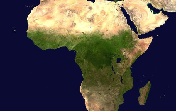
The Red Sea is a long, narrow strip of water between Africa and the Arabian Peninsula. On a map it looks like a crack, and…
On a world map the Caspian Sea looks like a lake that forgot to stop growing. It has no outlet to the ocean, yet it…
On a map of North America the Appalachians are easy to miss. They have none of the jagged height of the Rockies, and their summits…
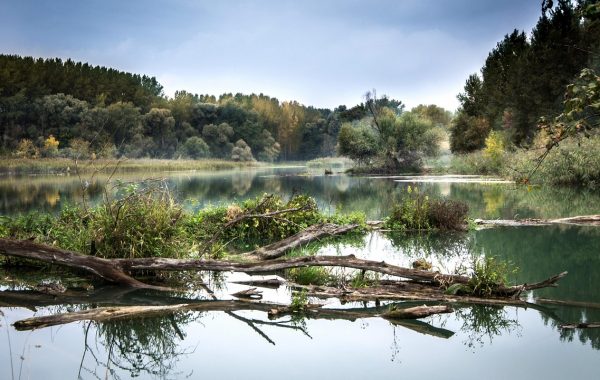
The Danube crosses more countries than any other river in Europe, and it is the easiest way to read the map of Central and Eastern…
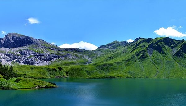
The Carpathians are the mountain range that most people in Western Europe cannot place on a map, even though it is longer than the Alps….
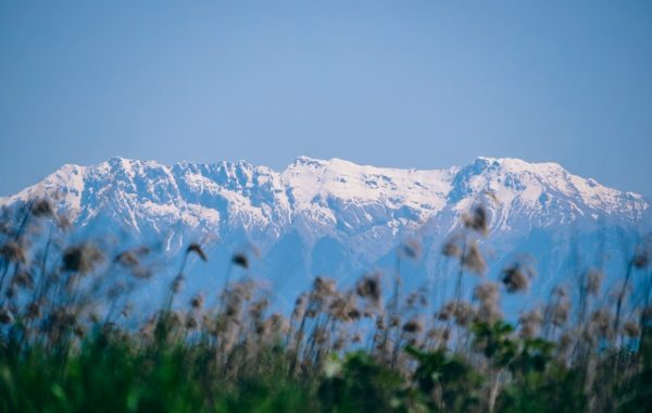
On a map of Europe the Pyrenees look like a straight line drawn with a ruler between France and Spain. That impression is close to…
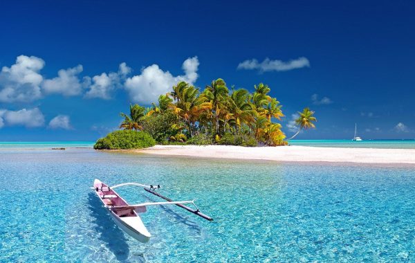
Unlike the Atlantic and the Pacific, the Indian Ocean never reaches the Arctic. Asia caps it, Africa borders it to the west, Australia to the…
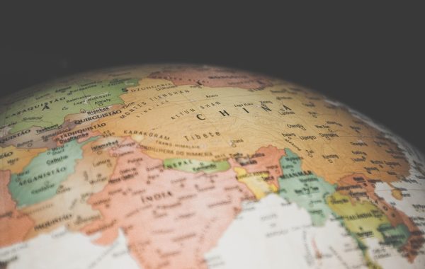
Patagonia is a region rather than a country, and its borders depend on who is drawing them. What every map agrees on is the outline:…
Few places on a map produce as much confusion over names as the islands off the north-west coast of Europe. Great Britain, the United Kingdom,…