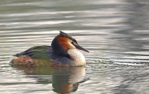
Map of the Great Lakes: Five Lakes, Two Countries, One Drainage
The Great Lakes are usually listed as five separate lakes, but a map shows them better as one connected system. Water moves from the far…
The Great Lakes are usually listed as five separate lakes, but a map shows them better as one connected system. Water moves from the far…
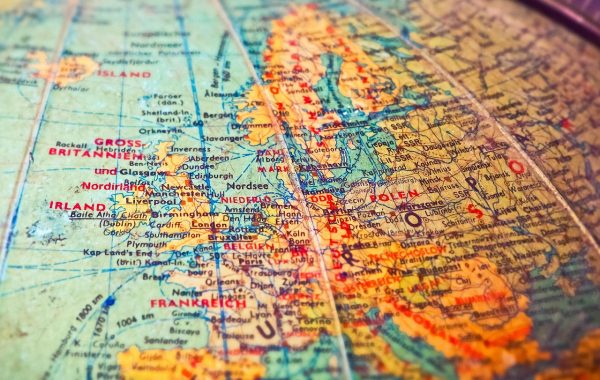
The Atlantic is the ocean most maps put at the centre of the world, which makes it oddly easy to overlook. It is also the…
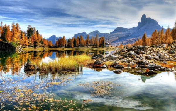
The Rocky Mountains are the backbone of western North America, but on a map they are easy to misread. They are not the first mountains…
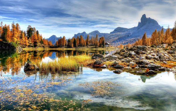
On a map of Europe the Alps look like a single wall between Italy and the rest of the continent. In reality they form a…

The Himalaya is usually drawn as a line, and that is the first thing to unlearn. It is a belt several hundred kilometres deep, made…
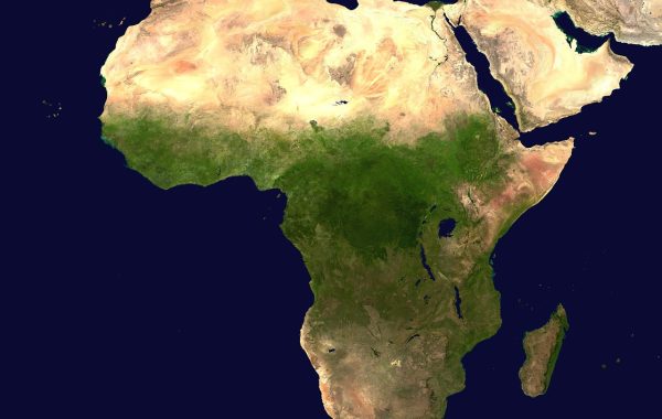
The Mediterranean is the rare sea that organises three continents around itself instead of separating them. Europe to the north, Africa to the south, Asia…
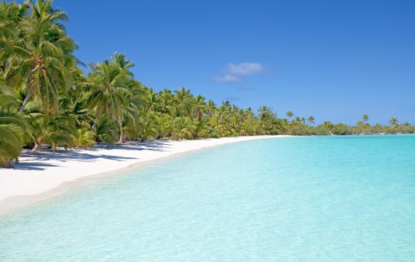
The Caribbean is one of the hardest regions to read off a map, because what looks like a single scatter of islands is in fact…
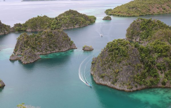
Raja Ampat sits at the far eastern edge of Indonesia, closer to Papua New Guinea than to Bali, and it takes real effort to reach….
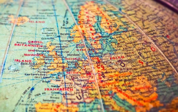
Ask a geographer where Europe ends and Asia begins, and the Caucasus is one of the few places on Earth where the answer is genuinely…
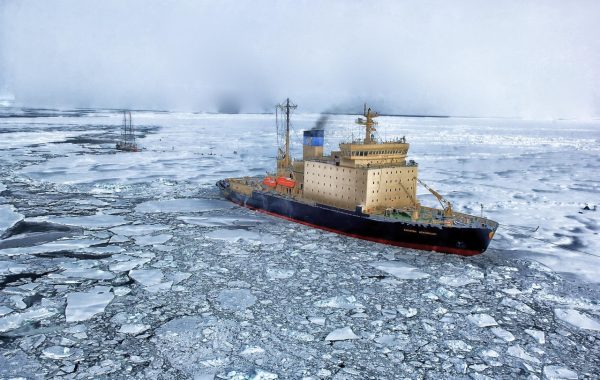
Antarctica has a landmass under its ice. The Arctic does not. At the top of the world sits an ocean, frozen over for most of…