
The Himalaya is usually drawn as a line, and that is the first thing to unlearn. It is a belt several hundred kilometres deep, made of parallel ranges rising in steps from the Indian plains to the Tibetan Plateau, and the famous peaks sit on the inner ranks rather than the front one.
Where it runs
The arc stretches roughly 2,400 kilometres from the Indus gorge in the west to the Brahmaputra bend in the east, crossing five countries: Pakistan, India, Nepal, China through Tibet, and Bhutan. Nepal holds the longest continuous stretch of high Himalaya, which is why so much of the trekking infrastructure sits there.
Three parallel ranges, not one wall
Travelling north from the plains you cross the same sequence almost everywhere:
- The Siwaliks, low forested foothills, often under a thousand metres.
- The Lesser Himalaya, where the hill towns and most of the population sit, between roughly two and four thousand metres.
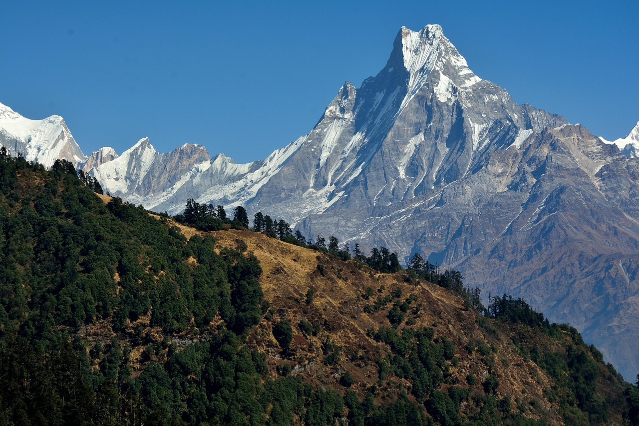
- The Great Himalaya, the crest line carrying the eight-thousanders.
Behind that crest lies the Trans-Himalaya and then the Tibetan Plateau, which is a different landscape entirely: high, dry, and comparatively flat. Confusing the two is the most common map error, and it matters, because the plateau’s weather and its road network work nothing like the valleys on the southern side.
The neighbouring ranges people fold into it
The Karakoram, holding K2, is a separate range north-west of the Himalaya proper. The Hindu Kush continues west into Afghanistan, the Pamir sits at the junction of several ranges, and the Kunlun runs along the northern edge of the plateau. Together they form the mountain knot covered by the map of Central Asia, and none of them is the Himalaya despite frequently being labelled as such.
The peaks, and where they actually are
All fourteen eight-thousand-metre peaks sit in this belt: eight in Nepal or on its borders, four in the Karakoram, one in India, one further east. Everest sits on the Nepal-China border, Kangchenjunga on the Nepal-India border, and Nanga Parbat marks the western end of the Himalaya where the Indus cuts through. The distribution explains the trekking map: Nepal has the density, Pakistan has the extremes, India and Bhutan have the quieter approaches.
The rivers matter more than the summits
Three river systems rise in and around this belt and support a large share of the world’s population downstream: the Indus to the west, the Ganges through the plains, and the Brahmaputra, which runs east along the north side of the range for over a thousand kilometres before turning sharply south. Several major rivers are older than the mountains they cut through, which is why they pass through the range in gorges rather than going around it.
The passes, and why they close
Historic trade ran through a small number of passes, most above four thousand metres and most shut by snow for several months each year. Modern roads have replaced some, but seasonality has not gone away: the road that is a routine drive in September may be closed from November to May, and the monsoon brings landslides to the southern approaches from June onward. Any itinerary in this belt is a calendar problem before it is a distance problem.
Why it is still rising
The Indian plate is still pushing north into Eurasia, at a few centimetres a year. The range gains height and loses it to erosion at broadly similar rates, and the same collision makes the whole belt seismically active, from Kashmir through Nepal to Assam. That activity is the single most important thing the physical map does not show.
Reading it alongside its neighbours
The Himalaya is the boundary between two of the great regions of Asia, and it makes more sense read against both: the plains and peninsulas on the map of South Asia to the south, and the plateau and deserts to the north. Almost every question about climate, language and settlement in this part of the world comes back to which side of the crest you are standing on.