The Mediterranean is the rare sea that organises three continents around itself instead of separating them. Europe to the north, Africa to the south, Asia to the east, and in the middle a body of water almost entirely enclosed by land — which turns out to explain most of what is unusual about it.
An almost closed sea
The Mediterranean connects to the wider ocean through a single narrow gap: the Strait of Gibraltar, about fourteen kilometres across at its narrowest. Everything else is artificial or internal — the Suez Canal to the Red Sea, the Dardanelles and Bosphorus to the Black Sea, the Strait of Sicily between the two halves of the basin itself.
Because evaporation exceeds the water arriving from rivers and rain, Atlantic water flows in continuously at Gibraltar to make up the difference. That is why the sea is saltier and warmer than the Atlantic at the same latitude, and why its tides are almost imperceptible on most coasts.
Two basins, not one
The Strait of Sicily divides the sea into a western basin, from Gibraltar to Sicily, and an eastern basin, from Sicily to the Levantine coast. The division is not a cartographic convenience: the two basins have different depths, different salinity and different weather. Within them sit named seas that appear on maps at different scales — the Alboran, Balearic, Tyrrhenian, Ionian, Adriatic, Aegean and Levantine.
Twenty-one countries on the shore
The coastal states run across three continents:
- Europe: Spain, France, Monaco, Italy, Malta, Slovenia, Croatia, Bosnia and Herzegovina, Montenegro, Albania, Greece, Cyprus.
- Asia: Turkey, Syria, Lebanon, Israel, plus the Palestinian territories.
- Africa: Egypt, Libya, Tunisia, Algeria, Morocco.
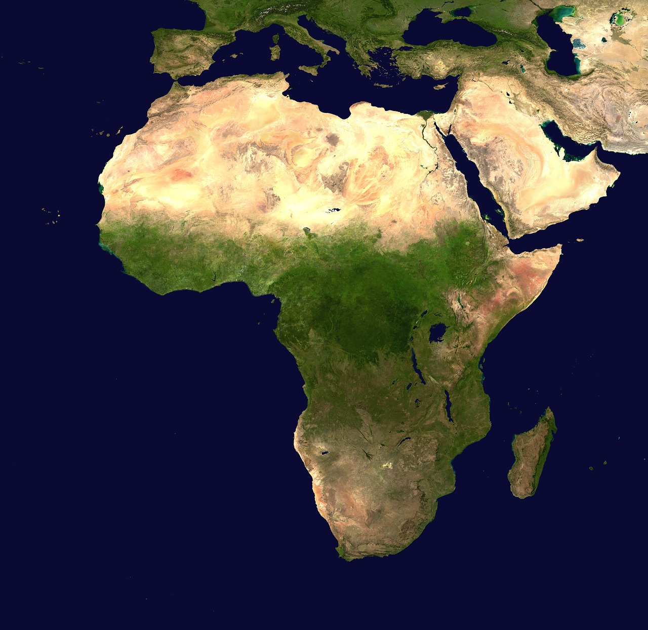
Bosnia and Herzegovina has about twenty kilometres of coast and no commercial port of scale, which is a reminder that “coastal country” covers very different realities. The North African shore is covered in more detail on the map of North Africa, and the eastern end connects directly to the map of the Middle East.
The islands that structure it
Sicily, Sardinia, Cyprus, Corsica and Crete are the five largest, and each has historically controlled a piece of the sea around it. Then come the archipelagos: the Balearics, the Maltese islands, the Ionian and Aegean groups, the Dalmatian chain along the Croatian coast. The Aegean alone holds well over a thousand islands, which is why maritime boundaries there are among the most contested in Europe.
The chokepoints
Four narrow passages carry an outsized share of world shipping:
- Gibraltar, the only natural connection to the Atlantic.
- Suez, the artificial link to the Red Sea and onward to Asia.
- The Turkish Straits, the only way in and out of the Black Sea, governed by a convention dating from the 1930s.
- The Strait of Sicily, between the two basins and between Europe and Africa.
Any disruption at one of these shows up in freight rates worldwide within days, which is the clearest illustration of why a nearly closed sea matters far beyond its own shores.
The climate that took the sea’s name
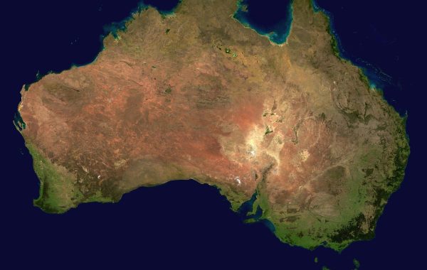
Hot dry summers and mild wet winters describe the coastal strip, but not everything behind it. Climb a few dozen kilometres inland in Spain, Turkey or Morocco and the pattern breaks down into continental or mountain conditions. The same climate type appears on four other continents, always on a western coast at similar latitude — California, central Chile, the Cape, southern Australia.
What the map does not settle
Where the Mediterranean world begins and ends is not a coastline question. Historically it has meant the reach of a set of connected ports and trade routes, which extended well up the Nile, deep into the Balkans and across the Sahara. A map of the water tells you where ships could go; it does not tell you where the connections went, and in this sea the connections have almost always run further than the shore.